2m-coverage
Coverage Maps
Click on the maps themselves for larger, more detailed versions
Casper Area
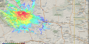
All maps depict a 15 watt transmitter in the 146.600Mhz range and an antenna with 3dbi gain. Each site's antenna is modeled to it's actual tower height above ground.
The Casper Mnt. site offers greater coverage around Casper, but affords less than optimal coverage within many areas of Casper itself. This has prompted many to complain about not being able to use the repeater with a hand held. With the new Tower Site, a hand held in almost any part of Casper - including the North side of Casper Mountain - now has a very good chance of 'hitting' the .235 repeater and getting out. The 146.640 repeater and the 146.940 machine on top of Casper Mountain provide similar coverage - for travelers coming into or leaving Casper or out South in the Shirley Basin area - the I-25 corridor East and South.
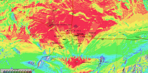
Autopatch
Note: This map uses a 7m tower - about 21' above ground.
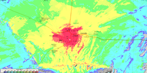
State wide
These are the same voice repeaters shown above - but the maps show the whole of Wyoming, not just the Casper area.
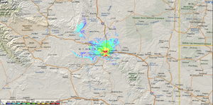
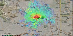
For comparison - this is the statewide coverage for the .805 machine on Copper Mnt.
Tools
All maps were generated using the Radio Mobile Deluxe software by VE2DBE and SRTM version 2 elevation data with a 1 arc second resolution. Roads and boundaries from US Census Bureau Online Tiger data.